Presentaci - PowerPoint PPT Presentation
1 / 8
Title:
Presentaci
Description:
To provide Argus Run-time Environment (ARE) Field Data. To provide Coastal State Indicator's (CSI) ... To gain a better understanding of coastal processes ... – PowerPoint PPT presentation
Number of Views:13
Avg rating:3.0/5.0
Title: Presentaci
1
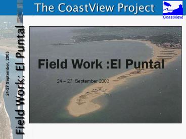
Field Work El Puntal
24 27 September 2003
2
- Objectives
- To provide Argus Run-time Environment (ARE)
Field Data - To provide Coastal State Indicators (CSI)
Ground Truth Measurements - To gain a better understanding of coastal
processes
3
Types of measurements Waves and currents on
a beach profile Currents along the El Puntal
shoreline Topo-bathymetry survey
4
ARE Field Data Tide
Starting date 30s Time Resolution 10 SPA
5
ARE Field Data Waves
Starting date 70s Time Resolution 60 PE
6
Ground Truth Measurements Topo-Bathymetry
7
Ground Truth Measurements Waves and currents
8
Fieldwork plan September, 24 Equipment
preparation QUAD DGPS antenna
installation September, 25 Bottom-mounted ADCP
installation. Bathymetry survey Testing
boat-mounted ADCP Testing the QUAD
DGPS September, 26 Tidal-cycle intertidal
instruments installation/operation Eulerian and
lagrangian currents along the El Puntal QUAD
and UCA topography September, 27 Bottom-mounted
ADCP recovery Bathymetry (if required)
UPL P,U,V,W,?
UPC P,U,V,T
UCA P,S,T


