NASA - PowerPoint PPT Presentation
Title:
NASA
Description:
... a cross cutting solution network and rapid prototyping ... Integrated solution network. harvest science results to identify potential solutions to ... – PowerPoint PPT presentation
Number of Views:16
Avg rating:3.0/5.0
Title: NASA
1
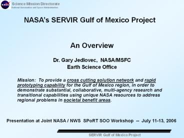
NASAs SERVIR Gulf of Mexico Project
An Overview Dr. Gary Jedlovec, NASA/MSFC Earth
Science Office Mission To provide a cross
cutting solution network and rapid prototyping
capability for the Gulf of Mexico region, in
order to demonstrate substantial, collaborative,
multi-agency research and transitional
capabilities using unique NASA resources to
address regional problems in societal benefit
areas.
Presentation at Joint NASA / NWS SPoRT SOO
Workshop -- July 11-13, 2006
2
Harvesting, Integration, and Demonstration
- Integrated solution network
- harvest science results to identify potential
solutions to Earth science problems - Rapid prototype capability
- link existing data, proven products, and models
- to address specific end user problem and
decision - support tools
- SPoRT-like capability
- Selected USGEO societal benefit areas -
- weather forecasting natural disasters
- agriculture/forestry human
health ecological forecasts - water resources energy resources ocean
resources - climate variability / change
3
SERVIR Ecological / Disaster Forecasting in
Mesoamerica
Integration of observational and GIS data bases
Historical and real-time data available to end
users
Links a variety of end users / problems
link
4
Overview / Interactions
5
Relevance to WFOs?
- Broadened responsibly of WFOs into additional
societal benefit areas (e.g., coastal and marine
forecasts, natural disasters, water/energy
impacts) - Access to additional data and resources
- unique high resolution data sets (e.g.,
vegetation health, coastal datasets land and
ocean) - land and ocean models (evaporation, ocean
wind/waves) - Enhanced partner base with common problems
- Opportunity for partnering / collaboration


