ATMOSPHERIC CHANGE LAB - PowerPoint PPT Presentation
1 / 8
Title:
ATMOSPHERIC CHANGE LAB
Description:
... the gold standard of weather charts because at any latitude, ... Source http://weather.unisys.com. Scale. 5o lat. 12 h Forecast for Pittsburgh = -17.5oC ... – PowerPoint PPT presentation
Number of Views:40
Avg rating:3.0/5.0
Title: ATMOSPHERIC CHANGE LAB
1
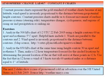
ATMOSPHERIC CHANGE LAB 17 CONSTANT P CHARTS
Constant pressure charts represent the gold
standard of weather charts because at any
latitude, wind speed is inversely proportional to
the distance between geopotential height
contours. Constant pressure charts enable us to
forecast movement of surface pressure systems
(steering rule), temperature changes,
cyclogenesis, and regions of rising air and
precipitation or sinking air. Exercises 1.
Analyze the 500 hPa chart of 12 UTC 22 Feb 2003
using a height contours 60 m apart and isotherms
5C apart. Helpful hints include 1. Winds are
parallel to the contours and 2. Wind speed is
inversely proportional to the distance between
contours. (Map source, http//vortex.plymouth.edu
/upairwx-u.html) 2. Analyze the 850 hPa chart at
the same time using height contour 30 m apart and
isotherms 5. Then, make a 12 hour temperature
forecast for the circled locations by determining
the present location of the air that will arrive
at these points in 12 h. Use the fact that in 12
hours a wind of 5 knots travels 60 nautical miles
or a distance equal to 1 of latitude.
The next 2 slides show a case of pronounced cold
air advection over the NE United States on 11 Feb
2003. Source http//weather.unisys.com
2
(No Transcript)
3
(No Transcript)
4
(No Transcript)
5
(No Transcript)
6
12 h Forecast for Pittsburgh -17.5oC Actual
Value -17oC
Wind speed upwind from Pit 20 kt 4o lat/12 h
7
(No Transcript)
8
(No Transcript)


