The Integrated Toolset - PowerPoint PPT Presentation
1 / 14
Title:
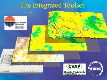
The Integrated Toolset
Description:
Surface fitting - Spatial interpolation of (noisy) point data for generating ... Explicit error diagnostics - for spatial interpolation outputs. ANUSPLIN VERSION 4.1 ... – PowerPoint PPT presentation
Number of Views:123
Avg rating:3.0/5.0
Title: The Integrated Toolset
1
The Integrated Toolset
2
Extensions for ArcView
All components of the Integrated Toolset have
been developed as extensions for the ESRI GIS
software ArcView.
3
Major components of the Integrated Toolset
- Point from text - quick addition of records to a
point theme - via latitude Longitude coordinate
entry - Graphic on Grid - quick setting of user defined
grid analysis extent - Surface fitting - Spatial interpolation of
(noisy) point data for generating continuous grid
surfaces - Explicit error diagnostics - for spatial
interpolation outputs
4
Required software for the Integrated Toolset
ANUSPLIN VERSION 4.1 M.F. HutchinsonCentre for
Resource and Environmental Studies The
Australian National UniversityCanberra http//cre
s.anu.edu.au/index.html
ArcView 3. Spatial Analyst ESRIEnvironmental
Science Research Institute http//www.esriau.com.
au
5
Point from text
- Addition of new records to point shape files.
- New points are added by keying in its
coordinates (latitude and longitude). - Developed for addition of point data to a
coverage from GPS measurements (i.e. taking GPS
readings in the field and adding them to a new or
existing point theme in ArcView).
6
Graphic on grid
Define the extent of Grid analysis by click and
drag
Defining box
7
Surface fitting
8
Surface fitting
ANUSPLIN is used in conjunction with ArcView to
create a grid surface from point data. In this
application ANUSPLIN can handle one dependent
variable and a minimum of two and maximum of five
independent variables or covariates.
9
Explicit error diagnostics
Various outputs for checking the input data and
output results
Smoothing parameter
Error surface
Output statistics
10
Error surfaces
Error surfaces produced by ANUSPLIN show the
distribution of errors for the interpolated
surface
Average surface value only Model standard
errors Prediction standard errors 95 model
confidence intervals 95 prediction confidence
intervals
11
Integrated Toolset The software extensions
which make it a useful tool
- AUNSPLIN version 4
- ArcView version 3. ArcView extensions
- Spatial analyst
- ANUSPLIN interface
- Graphic on grid
- Point from text
- Duplicate finder
- Get grid value
- XY to point
Proprietary products
Products available on the Integrated Toolset CD
12
Finding further information
- ANUSPLIN manual (ANUSPLIN_4.htm)
- How SPLIN works
- Input variables
- Error diagnostics
- Integrated Toolset manual (toolset3.doc)
- Using the ArcView interface
- Examples
- Integrated Toolset/spatial modelling training
(IT_training.doc) - Sampling theory
- Examples
Greg Laughlin greg.laughlin_at_brs.gov.au (02) 6272
3347
13
Data requirements for creating an interpolated
surface
- A point theme
- Must contain at least three fields
- Latitude
- Longitude
- Dependent variable (e.g. rainfall /
temperature) - Because 3 additional independent variables or
covariates may be used - The table must contain one field for each
independent variable or covariate (e.g.
elevation)
14
Data requirements for creating an interpolated
surface
- A grid, preferably a DEM
- Used to set position, extent and cell size of
the model surface and error grids (never gt 3
decimal places) - Additional grids
- Any additional independent variables or
covariates must be represented by a grid as well
as a field in the point themes table


