Geographic Information Systems - PowerPoint PPT Presentation
1 / 12
Title:
Geographic Information Systems
Description:
... /vectordatamodels.ppt DATA MODELS Raster Models Surface Models: Raster Based Models Vector ... Geographic Information Systems Data Models Data ... – PowerPoint PPT presentation
Number of Views:223
Avg rating:3.0/5.0
Title: Geographic Information Systems
1
Geographic Information Systems
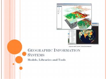
www.esri.com/environment
- Models, Libraries and Tools
2
Data Models
- Data models are used to represent real world
objects in a GIS - Earliest non trivial models include GBF-DIME,
POLY VRT, and TIGER - Currently there are 3 main types
- Vector Models.
- Raster Models.
- Surface Models.
mississippi.deltastate.edu/data/.../Lecture20220
-20GIS20data20models.ppt
3
Data Models
- Vector Models
Spaghetti Models
Network Models
Topological Models
Source www.ils.unc.edu/ruvam/INLS110_111/.../vec
tordatamodels.ppt
4
Data Models
- Raster Models
- Surface Models
- Raster Based Models
- Vector Based Models.
- TINS
- Theissen Polygons
Source www.ils.unc.edu/ruvam/INLS110_111/.../vec
tordatamodels.ppt
5
Environment Management and GIS
- Pre-processing of data
- Sampling
- Geometric transformation
- Format conversion
- Modeling and analysis
- Auto-correlation
- Regression
- Interpolation
- Post-processing
- Visualization
- Reporting
http//www.safe.com/solutions/GIS/documents/marria
ge-cad-gis.pdf
www.esri.com/environment
6
FOSS and environmental Modeling
7
Geospatial Software Stacks
- System Softwares
- Linux, MS-Windows
- Geospatial Data Processing Libraries
- Data Management
- Data Integration
- Geo-analytical Tools
- Data Storage and Serving
- Scripting languages
- Perl,Python
- User Interface
8
GIS Open Source Libraries
- GDAL/OGR
- C libraries for raster and vector data
respectively. - JTS (Java Topological Suite)
- Complete suite for 2D spatial algorithms based on
the Simple Features for SQL specification of OGS.
GEOS is its C port. - JCS (Java Conflation Suite)
- Java based tool for conflation and cleaning of
spatial data sets, which helps in error detection
and automatic/manual correction. - GPSBabel
- Tool to between various GPS data formats. It can
translate waypoints, routes and tracks and
partially signal quality information between
various data formats.
9
Geospatial Applications
Wikipedia
http//geo.arc.nasa.gov/sge/casa/hydrologic/swat.h
tml
10
GIS and CAD Need for integration
- Both are GIS applications
- Reduction of redundancies in data collection and
maintenance - Promotes information sharing and standardization
of procedures - Increases functionality and efficiency
Source http//www.safe.com/solutions/GIS/document
s/marriage-cad-gis.pdf
11
Impact of technological inflection points on GIS
and CAD
- Milestones
- Workstation Phase
- AutoCAD, Desktop GIS products
- ArcCAD, AutoCAD Map, Autodesk World
- Web Phase
- Whip! (Autodesk DWFTM Viewer), MapGuide
- Wireless Phase
- Autodesk Onsite View, Location-Based Services,
Enterprise GIS
12
Future
- Service Oriented Architecture
- Demand for rapid data and application processing


