
Scale, Resolution and Accuracy in GIS - PowerPoint PPT Presentation
1 / 10
Title:
Scale, Resolution and Accuracy in GIS
Description:
A map in a GIS can be shrunk or enlarged at will on the screen or on paper. ... confidently positioned within 0.02', at map scale, of the true ground position. ... – PowerPoint PPT presentation
Number of Views:142
Avg rating:3.0/5.0
Title: Scale, Resolution and Accuracy in GIS
1
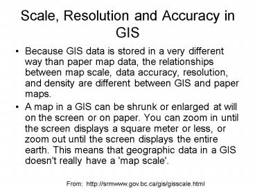
Scale, Resolution and Accuracy in GIS
- Because GIS data is stored in a very different
way than paper map data, the relationships
between map scale, data accuracy, resolution, and
density are different between GIS and paper maps.
- A map in a GIS can be shrunk or enlarged at will
on the screen or on paper. You can zoom in until
the screen displays a square meter or less, or
zoom out until the screen displays the entire
earth. This means that geographic data in a GIS
doesn't really have a 'map scale'.
From http//srmwww.gov.bc.ca/gis/gisscale.html
2
NHD at two spatial scales
1100,000 scale
124,000 scale
3
Streams and Map Scale
124,000 scale
1100,000 scale
20 times no. of lines 3 times total length of
lines
San Marcos Basin Flow Lines 1100,000 scale 557
lines, Total length 1890 km
San Marcos Basin Flow Lines 124,000 scale
11,338 lines, Total length 5559 km
4
Length of the San Marcos River
San Marcos River
1100,000 scale 39 records, total length
130.0 km 124,000 scale 112 records, total
length 138.1 km 6 longer and 2.9 times no. of
lines for 124,000 scale
5
From http//www.colorado.edu/geography/gcraft/not
es/error/error_f.html
6
Scale, Resolution and Accuracy in GIS
- Accuracy is the degree to which information on a
map or in a digital database matches true or
accepted values. - Precision refers to the level of measurement and
exactness of description in a GIS database.
From http//www.colorado.edu/geography/gcraft/not
es/error/error_f.html
7
Relating scale and accuracy
- United States Geological Survey mapping
standards "requirements for meeting horizontal
accuracy as 90 per cent of all measurable points
must be within 1/30th of an inch for maps at a
scale of 120,000 or larger, and 1/50th of an
inch for maps at scales smaller than 120,000." - 11,200 3.33 feet
- 12,400 6.67 feet
- 14,800 13.33 feet
- 110,000 27.78 feet
- 112,000 33.33 feet
- 124,000 40.00 feet
- 163,360 105.60 feet
- 1100,000 166.67 feet
From http//www.colorado.edu/geography/gcraft/not
es/error/error_f.html
8
http//geography.usgs.gov/standards/
9
http//rockyweb.cr.usgs.gov/nmpstds/nhdstds.html
10
STREAM/RIVER - A body of flowing water.
- Horizontal data are confidently positioned within
0.02", at map scale, of the true ground position.
Vertical data are confidently positioned within
one-half contour interval of the true ground
position - 0.02" x 100,000 2000" 167 ft 50 m
- 0.02" x 24,000 480" 40 ft 12 m
Recommended
CrystalGraphics Presentations


