
BENTHIC MACROINVERTEBRATE STREAM MONITORING - PowerPoint PPT Presentation
1 / 12
Title:
BENTHIC MACROINVERTEBRATE STREAM MONITORING
Description:
SAMS Features. Display detailed analysis of ... SAMS Features (con't. ... Also, provides a venue for the transfer of data between the field and SAMS updating. ... – PowerPoint PPT presentation
Number of Views:151
Avg rating:3.0/5.0
Title: BENTHIC MACROINVERTEBRATE STREAM MONITORING
1
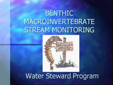
BENTHIC MACROINVERTEBRATE STREAM MONITORING
- Water Steward Program
2
Why Benthic Macroinvertebrate Monitoring?
- One way to accomplish the goals set forth in our
associations mission statement. - To assess the current water quality.
- To get a better sense of the impact of land use
practices on the Pohatcong Creek. - To share the collected data with the communities
as a tool for planning/land use issues.
3
Pohatcong Creek Watershed Boundary
- The entire watershed is within Warren County.
- The creek is approximately 20 miles in length.
- Flows through 7 municipalities on its way to the
Delaware River. - Approximately 58 square milesof land comprises
the watershed.
4
Initiating the Monitoring Program
- Develop a Quality Assurance/Quality Control
QA/QC document - Find and train a group of Water Stewards
- Survey and choose monitoring sites along the
length of the creek. - Establish a 3 year baseline of data.
5
The QA/QC
- Drives the program.
- It ensures that sampling is unified consistent,
and replicable. - It defines the equipment, sampling intervals,
procedures, and analysis. - Sampling protocol is based on the U.S. EPA Rapid
Bioassessment Protocol III EPA/440/4-89/001 May
1989.
6
The Water Steward
- A group of 10 people established the water
steward pool. - Each member completed the course Volunteer
Monitoring of Streams Rivers - May, 1999. - The group was divided into 4 teams to cover the
30 sites selected along the creek.
7
Field Work
- Letter of introduction
- Rapid Bioassessment Protocol followed during
site work. - Benthic macroinvertebrate sample is collected.
- In addition, stream width, water appearance,
odor, temperature, and flow velocity are
recorded. - The site is sketched and a habitat assessment is
performed.
8
Stream Assessment Monitoring System SAMS
- Developed and written by one of the members of
our watershed association. - GIS database management system to record and
display the results of the stream monitoring
program. - Available in two formats - a read only or a
read/write version.
9
SAMS Features
- Display detailed analysis of sampling data for
each site. - Calculate the N.J. Impairment Score versus 6
other features. - View site photographs.
10
SAMS Features (cont.)
- Interactive identification utility of benthic
macroinvertebrates which are found in our samples.
11
SAMS Features (cont.)
- Virtual tours of Stream Monitoring, the
Watershed, or Historical Areas
12
PCWA Web Site
- www.pcwa.org
- Overview of our organization and goals.
- The sights sounds of the watershed can be
viewed. - Also, provides a venue for the transfer of data
between the field and SAMS updating.
Recommended
CrystalGraphics Presentations


