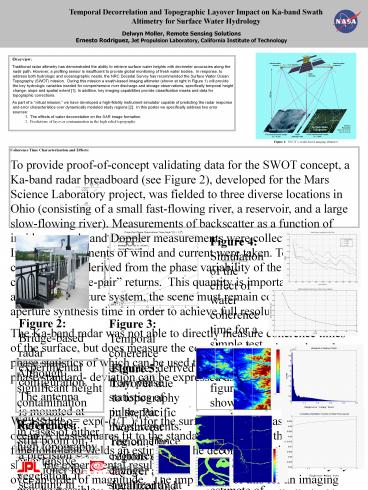
Height error - PowerPoint PPT Presentation
1 / 1
Title:
Height error
Description:
Temporal Decorrelation and Topographic Layover Impact on Ka-band Swath Altimetry for Surface Water Hydrology 47 Delwyn Moller, Remote Sensing Solutions – PowerPoint PPT presentation
Number of Views:47
Avg rating:3.0/5.0
Title: Height error
1
Temporal Decorrelation and Topographic Layover
Impact on Ka-band Swath Altimetry for Surface
Water Hydrology
Delwyn Moller, Remote Sensing Solutions Ernesto
Rodriguez, Jet Propulsion Laboratory, California
Institute of Technology
- Overview
- Traditional radar altimetry has demonstrated the
ability to retrieve surface water heights with
decimeter accuracies along the nadir path.
However, a profiling sensor is insufficient to
provide global monitoring of fresh water bodies.
In response, to address both hydrologic and
oceanographic needs, the NRC Decadal Survey has
recommended the Surface Water Ocean Topography
(SWOT) mission. During this mission a
swath-based imaging altimeter (shown at right in
Figure 1) will provide the key hydrologic
variables needed for comprehensive river
discharge and storage observations, specifically
temporal height change, slope and spatial extent
1. In addition, key imaging capabilities
provide classification masks and data for
topographic corrections. - As part of a virtual mission, we have developed
a high-fidelity instrument simulator capable of
predicting the radar response and error
characteristics over dynamically modeled study
regions 2. In this poster we specifically
address two error sources - The effects of water decorrelation on the SAR
image formation. - Predictions of layover contamination in the high
relief topography.
Figure 1 SWOTs swath-based imaging altimeter.
Coherence Time Characterization and Effects To
provide proof-of-concept validating data for the
SWOT concept, a Ka-band radar breadboard (see
Figure 2), developed for the Mars Science
Laboratory project, was fielded to three diverse
locations in Ohio (consisting of a small
fast-flowing river, a reservoir, and a large
slow-flowing river). Measurements of backscatter
as a function of incidence angle and Doppler
measurements were collected at each site. In
situ measurements of wind and current were taken.
Temporal coherence was derived from the phase
variability of the cross-correlated pulse-pair
returns. This quantity is important because, for
a synthetic aperture system, the scene must
remain correlated over the aperture synthesis
time in order to achieve full resolution. The
Ka-band radar was not able to directly measure
coherence times of the surface, but does measure
the complex pulse-pair product, the phase
statistics of which can be used to estimate
coherence times. The phase standard- deviation
can be expressed as We assume ? exp(-(t/?c)2)
for the surface, as is often assumed for the
ocean. A least-squares fit to the
standard-deviation of the phase as a function of
lag yields an estimate of the decorrelation time
?c. Figure 3 shows the experimental results
where the coherence time can vary by over an
order of magnitude. The implication of this for
an imaging radar is that the effective resolution
can be fundamentally limited by the scene
coherence such that The effects of a finite
decorrelation are shown in Figure 4, where a
simulation indicates a) the reach of a river
required to converge on a mean width and b) the
bias of that mean as a function of decorrelation
time. Note however, that this should not affect
the height accuracy - only the along-track
resolution.
- Figure 4 Simulation of the effect of water
coherence time for a simple test case. The upper
figure shows the reach averaging required to
converge on an estimate of the width where - The lower plot shows the mean width bias as a
function of correlation time. Note we are
ultimately limited by finite pixel sizes in
estimating width even as the decorrelation -gt
infinity. - The next step is to work on an algorithm and
sensitivity analysis for correcting the bias - Radar point-target response can be characterized
- In the mission we may be able to process to
different aperture lengths to estimate the
correlation time from the azimuth widths - Temporal decorrelation needs to be better
understood and characterized gt important to get
more experimental data/statistics
Figure 2 Bridge-based radar experimental
configuration. The antenna is mounted at the end
of a stiff boom on a precision positioner for
scanning in elevation about nadir. An anemometer
is mounted on the structure for ground-truth, and
current measurements were made from the bridge.
Figure 3 Temporal coherence estimates derived
from phase statistics of pulse-pair measurements.
The coherence estimates did not change
significantly at an incidence angle of 5o.
Layover Due to Topography Although significant
height contamination can occur in cases of either
high topography or extensive vegetation, it may
be possible to identify the contaminated regions
and exclude them from the height product. For
example, Figure 5 indicates height error due to
layover in the high topographic relief of the
Pacific Northwest area, but one can see that this
is localized. A further area of study is to
examine classification schemes utilizing
correlation properties to identify these areas of
layover and thereby exclude them.
- Figure 5 Layover due to topography in the
Pacific Northwest region. The regions of layover
are localized and predictable. - The relative power ratio accounts for
- Projected area of the land relative to the
water. - The dot product between the normal to the 2d
facet and the incident wave. - The relative ?0 between the land and water.
Note a 10dB water/land ?0 ratio is assumed at
nadir, which is then corrected for the local
angle of incidence. - The magnitude of the additive error is typically
very small (gt99 of pixels have lrlt1.1)
Classification of these regions should avoid
significant contamination.
Height error scaling factor
References 1 Alsdorf, D. E., E. Rodríguez, and
D. P. Lettenmaier (2007), Measuring surface water
from space, Reviews of Geophysics, 45, RG2002,
doi10.1029/2006RG000197. 2 Andreadis, K. M.,
E. A. Clark, D. P. Lettenmaier, and D. E. Alsdorf
(2007), Prospects for river discharge and depth
estimation through assimilation of swath
altimetry into a raster-based hydrodynamics
model, Geophysical Research Letters, 34, L10403,
doi10.1029/2007GL029721.
Height error scaling factor


