ARCTIC2003 EOS AquaAMSRE Sea Ice Validation Aircraft Campaign - PowerPoint PPT Presentation
1 / 2
Title:
ARCTIC2003 EOS AquaAMSRE Sea Ice Validation Aircraft Campaign
Description:
Successfully completed seven aircraft flights with the NASA P-3 to validate ... Arctic regions covered included the Bering, Beaufort, and Chukchi seas ... – PowerPoint PPT presentation
Number of Views:28
Avg rating:3.0/5.0
Title: ARCTIC2003 EOS AquaAMSRE Sea Ice Validation Aircraft Campaign
1
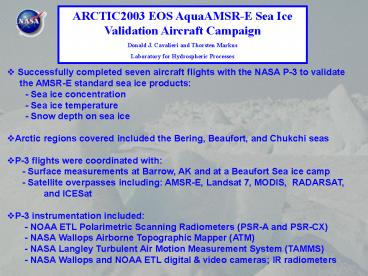
ARCTIC2003 EOS AquaAMSR-E Sea Ice Validation
Aircraft Campaign Donald J. Cavalieri and
Thorsten Markus Laboratory for Hydrospheric
Processes
- Successfully completed seven aircraft flights
with the NASA P-3 to validate - the AMSR-E standard sea ice products
- - Sea ice concentration
- - Sea ice temperature
- - Snow depth on sea ice
- Arctic regions covered included the Bering,
Beaufort, and Chukchi seas - P-3 flights were coordinated with
- - Surface measurements at Barrow, AK and at
a Beaufort Sea ice camp - - Satellite overpasses including AMSR-E,
Landsat 7, MODIS, RADARSAT, and ICESat - P-3 instrumentation included
- - NOAA ETL Polarimetric Scanning
Radiometers (PSR-A and PSR-CX) - - NASA Wallops Airborne Topographic Mapper
(ATM) - - NASA Langley Turbulent Air Motion
Measurement System (TAMMS) - - NASA Wallops and NOAA ETL digital
video cameras IR radiometers
2
March 13, 2003 Barrow (Elson Lagoon) Low
altitude flights (500ft) coincident with in-situ
surface measurements of snow and ice physical
properties (collaboration w/ M. Sturm J.
Maslanik) March 15, 2003 Norton
Sound/Bering Sea Maps of a divergent ice cover
at 4300 ft coincident with Landsat 7 coverage
a/c stacks over coastal polynya at different
altitudes to measure heat and moisture fluxes
(collaboration w/ B. Walter) March 16,
2003 St. Lawrence Island polynya stacks over
polynya at different altitudes to measure heat
and moisture fluxes (collaboration w/ B. Walter)
coincident Landsat 7 and ICESat coverage
March 18, 2003 Ice edge near St. Matthew
Island Mapping of ice edge at 4300 ft
coincident Radarsat Coverage March 19,
2003 Beaufort Sea ice camp, Barrow Mapping of
area at 4300 ft, mostly multiyear ice
coincident ICESat coverage 2nd Barrow survey
March 20, 2003 Point Hope/Kotzebue
Sd. Mapping of area at 4300 ft various sea ice
types co-incident Landsat 7 and Radarsat
coverage March 22, 2003 Ice edge and
Kuskokwim Bay Mapping of ice edge (coincident
Landsat 7 coverage) and a/c stacks over polynya
in Kuskokwim Bay to measure heat and moisture
fluxes


