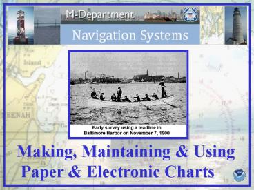
Making, Maintaining - PowerPoint PPT Presentation
1 / 34
Title:
Making, Maintaining
Description:
Making, Maintaining & Using. Paper & Electronic Charts. The commercial mariner does ... NOAA Photo Library. http://www.photolib.noaa.gov/index.html ... – PowerPoint PPT presentation
Number of Views:30
Avg rating:3.0/5.0
Title: Making, Maintaining
1
Making, Maintaining Using Paper Electronic
Charts
2
Charts..who needs em?
The commercial mariner does The recreational
boater does And even the fisherman
3
Charts Through The Ages
1855
1650
1867
1919
2001
4
Historic Coast Survey Vessels
The Present NOAA Hydrographic Fleet
Survey Launches
5
Pre-1940
1980 - Present
1940 - 1980
Multi-beam
Side Scan Sonar
Soundings obtained by side scan sonar and
multi-beam resulting in 100 bottom coverage
Soundings obtained by single-beam echo sounder
Soundings obtained by hand lead-line
All examples at the same line spacing
6
Survey Planning
Hypack Max Planning Software
Lower Detroit River Plan
7
Vessel position
On-line Data Acquisition
Real-time sounding plot
Left/right steering indicator
Navigation information
8
Sounding Path
9
Sounding Coverage
- 100m line spacing
- 50m between selected soundings
- coverage to 1m curve
100m
50m
10
Anatomy of a Sounding
11
Sea level measured at Rimouski, Quebec
Chart Datums based on the IGLD 1985
12
Chart Data Sources
Soundings
Aids to Navigation
Shoreline
Wrecks
Obstructions
13
SOUNDINGS
AIDS TO NAVIGATION
DEPTH CONTOURS
BRIDGE CLEARANCES
DANGERS
GEOGRAPHIC NAMES
LANDMARKS
Information on a Chart
14
Chart Maintenance
15
Raster Nautical Charts
16
Examples of Raster Nautical Chart Functionality
Basic Navigation Screen
With 3-d Overlay
With Weather Overlay
17
Electronic Navigational Charts
18
ENC gtgtgtgtgtgtgtgt vs.ltltltltltltltlt Raster
Normal View
Zoomed View
More Pixelation
Less Pixelation
19
ENC Attribution
20
Vessel Draft Effect on Display
21
(No Transcript)
22
(No Transcript)
23
(No Transcript)
24
(No Transcript)
25
(No Transcript)
26
(No Transcript)
27
(No Transcript)
28
(No Transcript)
29
Forty Major U.S. Commercial Ports
30
Electronic Navigational Charts
31
Change Analysis - Cleveland, OH
Chart overlayed in green
32
http//chartmaker.ncd.noaa.gov/MCD/chartno1.htm
33
http//chartmaker.ncd.noaa.gov/STAFF/NCUM/ncum.htm
34
Chart Ordering Information http//chartmaker.ncd.n
oaa.gov/MCD/distrib.htm
Nautical Chart No. 1 (symbols, abbreviations and
terms) http//chartmaker.ncd.noaa.gov/MCD/chartno1
.htm
Nautical Chart Users Manual http//chartmaker.ncd.
noaa.gov/STAFF/NCUM/ncum.htm
NOAA Photo Library http//www.photolib.noaa.gov/in
dex.html


