
CSX and the Geographical Information System GIS - PowerPoint PPT Presentation
1 / 20
Title:
CSX and the Geographical Information System GIS
Description:
Two GPS units , 1 tracking 5 military satellites and 1 tracking 9 commercial ... Laser ranger finder. 4 encoder wheels. Optical range finder ... – PowerPoint PPT presentation
Number of Views:63
Avg rating:3.0/5.0
Title: CSX and the Geographical Information System GIS
1
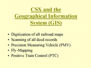
CSX and theGeographical Information System (GIS)
- Digitization of all railroad maps
- Scanning of all deed records
- Precision Measuring Vehicle (PMV)
- Fly-Mapping
- Positive Train Control (PTC)
2
Precision Measuring Vehicle (PMV)
- Mounted 180 digital camera
- Two GPS units , 1 tracking 5 military satellites
and 1 tracking 9 commercial satellites that we
pay a user fee - Laser ranger finder
- 4 encoder wheels
- Optical range finder
3
(No Transcript)
4
(No Transcript)
5
(No Transcript)
6
(No Transcript)
7
(No Transcript)
8
FLI-MAP SURVEYING USING HELICOPTER PLATFORM
Uses GPS, LiDAR and Video Imaging Technologies
9
What can FLIMAP do?
- Provide terrain modeling to high accuracy
- Provides relative accuracy 0.15 or 1.8
- Tied into USGS monumentation via ground beacons.
10
How Does FLIMAP work?
LiDAR, kinematic GPS receivers, and VHS-S video
mounted to helicopter platform.
11
(No Transcript)
12
How Does FLIMAP work?
13
How Does FLIMAP work?
14
(No Transcript)
15
Mobile Airborne Platform a.k.a. helicopter
16
Video Image from Down-Looking Camera
17
Lines Detected by Intensity within Region
18
Rails Computed by Extending Line Segments
19
Positive Train Control (PTC)
- The Ability to Stop a Train
- Onboard Computers
- Field Assets with Radio/Transceivers
- Locations of Assets to Within 2 Meters
20
PTC Opportunities For Surveyors