Weather Systems - PowerPoint PPT Presentation
1 / 12
Title:
Weather Systems
Description:
Humid hot air streams from the Caribbean northward across Florida and up through ... If you look at the AccuWeather Color Water Vapor Satellite Loop you can see the ... – PowerPoint PPT presentation
Number of Views:131
Avg rating:3.0/5.0
Title: Weather Systems
1
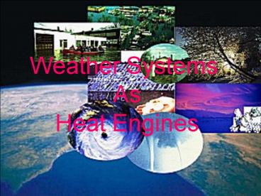
Weather Systems As Heat Engines
2
Weather Moisture from the Caribbean
Humid hot air streams from the Caribbean
northward across Florida and up through the
Carolinas. Satellites show the clouds and
Doppler radar clearly shows moisture
concentrations in these clouds.
3
HOT TROPICAL MOIST AIR
- The first ingredient for a storm. This may have
embedded thunder storms tornadoes hail rain . . .
4
Doppler Radar Detects Moisture
- The heavy rain is likely thunderstorms and
possibly tornadoes but certainly large amounts of
energy are indicated as moisture condenses.
(2026J/g).
5
Animations
- Animations show a developing heat engine
weather system on the move.
6
Temperature Difference
- The other ingredient to an intensified weather
system is a boost in efficiency. A cold blast of
air from northern Quebec provides a heat sink and
therefore a boost to the system.
7
Weather Advisory Outlook
- Intensifying storm is predicted to approach
Atlantic Canada. - The prediction of an intense winter storm is as
you see it at the right. The date of this
prediction is Saturday March 3rd.
8
Sunday, The storm develops. . .
- The storm intensifies and moves to the northeast
as predicted.
- Where is the moisture?
9
Mondays Prediction
- Where is the Jet stream? This will determine
where this monster goes from here?
10
Analysis
If you look at the AccuWeather Color Water Vapor
Satellite Loop you can see the ingredients for
this March blizzard. Number one, a ribbon of
moisture (shown in green) extending from the
Yucatan across Florida to the Northeast. Next, an
upper-level system, which is weakening, rotating
over western Tennessee. Finally, a vortex south
of Hudson Bay which will rotate southwestward
then southeastward, bringing cold air and extra
energy into the storm system in the Northeast.
11
- Six hour cloud animation shows the moisture train
still streaming from the Caribbean Northward.
- Forecast now shows moisture animation to the NE
seaboard.
12
Winter Noreaster


