River flow modeling of the Mekong River Basin - PowerPoint PPT Presentation
1 / 8
Title:
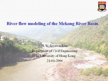
River flow modeling of the Mekong River Basin
Description:
Mekong Basin. Located 8 -35 N and 92 -110 E. 12th longest river in the world ... Located in Southeast Asia, the Mekong River while providing the much needed ... – PowerPoint PPT presentation
Number of Views:850
Avg rating:3.0/5.0
Title: River flow modeling of the Mekong River Basin
1
River flow modeling of the Mekong River Basin
A.W. Jayawardena Department of Civil
Engineering The University of Hong Kong 21-01-2006
2
Introduction
Mekong Basin Located 8º-35ºN and 92º-110ºE 12th
longest river in the world Drainage area 795,500
km2 Main stream length 4,620 km
- Located in Southeast Asia, the Mekong River while
providing the much needed water resources for the
well being has at times been a potential threat
because flooding is a regular event in this
region. - Simulation of river flows of impending
flows/stages at key locations along the river
constitute the foundation of an early warning
system.
3
Data and Methodology
LSM VIC-3L model in daily water balance
mode Routing Linear reservoir model
Optimization MOSCEM-UA algorithm DEM
River network watershed boundary from GTOPO30
DEM Soil FAO soil map with AWAM
Vegetation IGBP land cover Forcing
Mekong River Commission (MRC) and GDCN
for P, Tmax and Tmin with Thiessen polygon
4
Schematic locations of selected stations
5
Objectives
- Look for potential existence of critical
resolution for river flow simulation for the
Mekong River basin - Investigate the relationship intra- and inter-
relationship within the VIC and routing
parameters - Obtain deeper understanding of the hydrological
characteristics of the Mekong Basin - Try to improve optimization performance peak flow
simulation - Study the impacts of different optimization
procedures on optimization results
6
Procedure
- Input processing for meteorological, soil, and
vegetation data - Model setting up at 5 different spatial
resolutions from 2??2? to 0.125??0.125? - Operation with the Variable Infiltration Capacity
(VIC-3L) macroscale hydrologic model and routing
the outputs with linear reservoir method - Optimization of the VIC and routing parameters
with the Multiobjective Shuffled Complex
Evolution Metropolis (MOSCEM-UA) algorithm - Inclusion of peak under- and over- estimation
treatment (U_O) algorithm into optimization
algorithm
7
DEM
Landcover
Soil type
Boundary
Rainfall
Temperate
8
Thanks.


