Processbased simulation of erosion and deposition in a GIS: - PowerPoint PPT Presentation
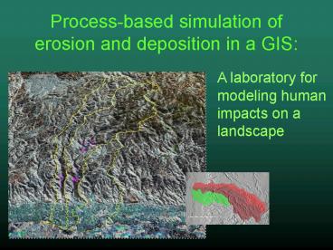
Processbased simulation of erosion and deposition in a GIS:
A laboratory for modeling human impacts on a landscape. Modeling environment built in GRASS GIS ... 'a' is the topographic aspect ' ... – PowerPoint PPT presentation
Title: Processbased simulation of erosion and deposition in a GIS:
1
Process-based simulation of erosion and
deposition in a GIS
A laboratory for modeling human impacts on a
landscape
2
Modeling environment built in GRASS GIS
- USPED equation (calculated at each cell)
- Unit Stream Power Erosion/ Deposition
- ED d(T ? dx ? cos a) d(T ? dy ? sin a)
- ED is net erosion or deposition of sediment
- a is the topographic aspect
- dx and dy are the sediment transport capacity
in x and y directions for a given surface process
(see next slide) - T (sediment transport) is the RUSLE equation
value (see next slide)
3
- DX and DY for sheetwash (overland flow)
- dx f ? r ? sin(slope)
- dy f ? r ? cos(slope)
- where
- f is the flow accumulation or flux (number of
cells that drain through each cell) - r is the resolution of the DEM (dimension of
the cells) - RUSLE (Revised Universal Soil Loss Equation)
- T R ? K ? LS ? C ? P
- where
- R is the rainfall intensity factor
- K is the soil erosion resistance factor
- LS is the slope length and steepness factor (in
USPED, LS is represented by dx and dy) - C is the vegetation erosion protection factor
- P is the prevention practices factor
4
(No Transcript)
5
Results for a ten year simulation
Erosion/ Deposition Potential
6
Results for a ten year simulation
Terrain Evolution
7
Where to next?
- Add soil production (will allow production
limited function and will prevent excessive
unrealistic erosion/deposition) - Differentiate surface processes (ie. have rill
flow in gullies, sheetwash on slopes, mass
wasting where appropriate) - Remove edge effects (shrinking extents)
- Empirical field checking (are the models
erosion/deposition rates reasonable?)
PowerShow.com is a leading presentation sharing website. It has millions of presentations already uploaded and available with 1,000s more being uploaded by its users every day. Whatever your area of interest, here you’ll be able to find and view presentations you’ll love and possibly download. And, best of all, it is completely free and easy to use.
You might even have a presentation you’d like to share with others. If so, just upload it to PowerShow.com. We’ll convert it to an HTML5 slideshow that includes all the media types you’ve already added: audio, video, music, pictures, animations and transition effects. Then you can share it with your target audience as well as PowerShow.com’s millions of monthly visitors. And, again, it’s all free.
About the Developers
PowerShow.com is brought to you by CrystalGraphics, the award-winning developer and market-leading publisher of rich-media enhancement products for presentations. Our product offerings include millions of PowerPoint templates, diagrams, animated 3D characters and more.


