
Remote Sensing Applications - PowerPoint PPT Presentation
1 / 28
Title:
Remote Sensing Applications
Description:
Now both polar orbiting and geostationary satellites are used ... Geostationary satellites continually view the same portion of the Earth. ... – PowerPoint PPT presentation
Number of Views:77
Avg rating:3.0/5.0
Title: Remote Sensing Applications
1
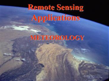
Remote Sensing Applications
- METEOROLOGY
2
Remote Sensing Applications
- Meteorology
- First application of satellite remote sensing
- Began with TIROS1, launched in April 1960
- Simple TV system on board to map clouds
- Satellites are now a vital an integral part of
our weather forecasting system.
3
Remote Sensing Applications
- Meteorology
- Now both polar orbiting and geostationary
satellites are used - Polar orbiters operate in a similar way to other
remote sensing satellites (Landsat, SPOT etc.) - Geostationary satellites continually view the
same portion of the Earth.
4
Remote Sensing Applications
- Meteorology
- Polar orbiting satellites
- Main satellites are the NOAA series (currently
15) - Direct descendants of the early TIROS spacecraft
- Instruments include the AVHRR and TOVS
5
Remote Sensing Applications
- Meteorology
- NOAA
- Major instruments
- AVHRR - already discussed
- TOVS - TIROS Vertical Sounder
6
Remote Sensing Applications
- Meteorology
7
Remote Sensing Applications
- Meteorology
8
Remote Sensing Applications
- Meteorology
- NOAA
- Major instruments - TOVS
- Uses multiple channels on the edge of an
atmospheric window - The spectral position of the channel then
determines the altitude of the reading - Processing provides data on atmospheric
temperature, moisture and total ozone.
9
Remote Sensing Applications
- Meteorology
- NOAA Major instruments - TOVS
10
Remote Sensing Applications
- NOAA Major instruments - TOVS
11
Remote Sensing Applications
- Meteorology
- NOAA
- Major Applications
- TOVS soundings
- Sea surface temperature estimation
- Sea ice monitoring
12
Remote Sensing Applications
- Meteorology
13
Remote Sensing Applications
- Meteorology
14
Remote Sensing Applications
- Meteorology
15
Remote Sensing Applications
- Meteorology
- Geostationary Satellites
- Orbit above the equator at 35,800 Km and complete
one orbit every 24hrs. - Remain over the same point on the surface of the
Earth. - Continually view the same portion of the Earth.
- A network provides coverage of the entire globe
16
Remote Sensing Applications
- Meteorology
- Geostationary Satellites
- Australia mainly uses the Japanese GMS (5) series
- Other satellites in the network include the
American GOES series and the European METEOSAT - Australia also gathers data from the Chinese Feng
Yun 2 spacecraft.
17
Remote Sensing Applications
- Meteorology
- GMS
- Spin stabilised with the spin used to step the
scans via a small tilting mirror - Main instrument is the VISSR
- One band in the visible (1.25km res) and three in
the Infra red (5km res) - IR channel 3 is targeted at water vapour
18
Remote Sensing Applications
- Meteorology
19
(No Transcript)
20
Remote Sensing Applications
- Meteorology
21
Remote Sensing Applications
- Meteorology
22
Remote Sensing Applications
- Meteorology
- GMS
- Major Applications
- Solar radiation exposure
- Uses a model based on an advanced estimate of
cloud cover - Cloud and Water Vapour Motion vectors
- Tracks identifiable cloud features
- Entered into weather forecasting models
23
Remote Sensing Applications
- Meteorology
24
Remote Sensing Applications
- Meteorology
25
Remote Sensing Applications
- Meteorology
26
Remote Sensing Applications
- Meteorology
27
Remote Sensing Applications
- Meteorology
28
Remote Sensing Applications
- Meteorology
http//www.bom.gov.au/products/IDE00900.loop.shtml