Two Ways To Cha-La-Kee - PowerPoint PPT Presentation
Two Ways To Cha-La-Kee
Two Ways To Cha-La-Kee. This route takes you the Guntersville ... Go about 5 miles on this winding road. ( There is a small fork near the end... Just stay left) ... – PowerPoint PPT presentation
Title: Two Ways To Cha-La-Kee
1
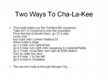
Two Ways To Cha-La-Kee
- This route takes you the Guntersville
causewayTake 431 S (Governor's over the
mountain)From the top of Monte Sano, go 33.5
milecross riverturn right onto Lurleen Wallace
Dr.follow water's edgego 1.0 mile, turn right
at teego 0.8 mile, turn right onto causeway by
baseball fieldsgo 2.3 mile, cross lake, turn
right at Shell stationnow on older two lanego
4.0 mile, Y to the leftgo 0.4 mile to Chalakee - The second route is through Morgan City . . .
2
240
South on 231 out of Huntsville. Turn left onto
Highway 240, just as leaving Morgan City. Drive
12-13 miles until dead-end into Highway 69. Turn
left onto 69. Go about 3-4 miles on 69 until get
near the bridge across the lake. (Now is the
time to get your bait.) Turn left on Cha-La-Kee
Drive (Between the Char-Burger and the Shell
Station) Go about 5 miles on this winding road.
(There is a small fork near the end... Just stay
left) The entrance to Camp Cha-La-Kee is at the
bottom of the hill. After entering the Camp, The
Kiwanis Cabins are on the left. Follow the dirt
road up the hill to Hill Cabins.
PowerShow.com is a leading presentation sharing website. It has millions of presentations already uploaded and available with 1,000s more being uploaded by its users every day. Whatever your area of interest, here you’ll be able to find and view presentations you’ll love and possibly download. And, best of all, it is completely free and easy to use.
You might even have a presentation you’d like to share with others. If so, just upload it to PowerShow.com. We’ll convert it to an HTML5 slideshow that includes all the media types you’ve already added: audio, video, music, pictures, animations and transition effects. Then you can share it with your target audience as well as PowerShow.com’s millions of monthly visitors. And, again, it’s all free.
About the Developers
PowerShow.com is brought to you by CrystalGraphics, the award-winning developer and market-leading publisher of rich-media enhancement products for presentations. Our product offerings include millions of PowerPoint templates, diagrams, animated 3D characters and more.


